
organic farming
How we read the satellites every morning
We sit 480 km below a constellation of Earth-observation satellites that look at the hillside every few days. Here is what we ask them, how we make sense of the answer, and where the limits are.
· Sameer Jain · 6 min read
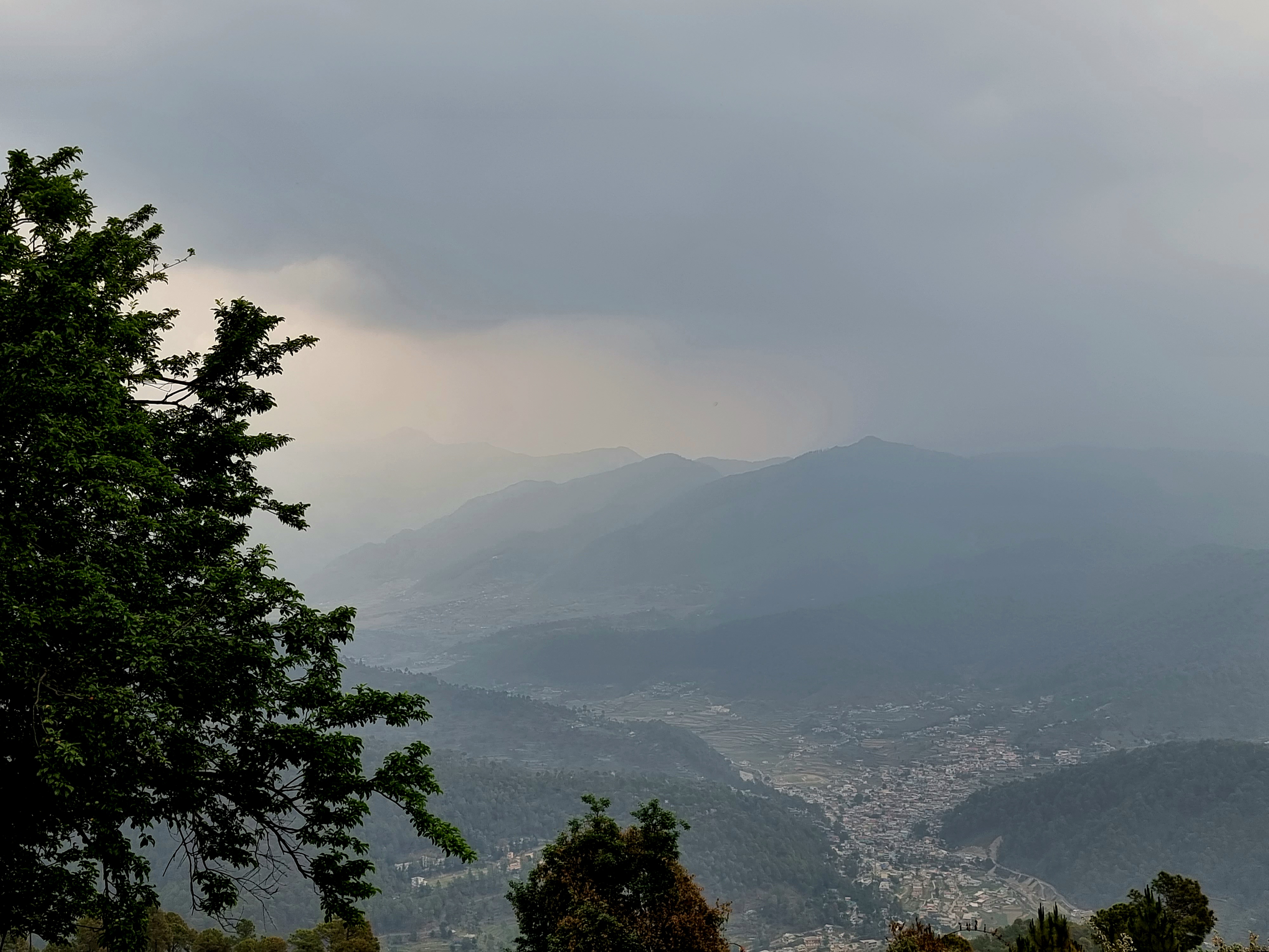
A small farm in the upper Yamuna valley is a strange place to be running a satellite analytics pipeline, and we will be the first to admit that. We did not set out to. We started using satellite data because the answer to "did it rain on the orchard yesterday?" turns out to be surprisingly hard to get any other way when you do not live on the farm full-time.
Here is what we do, how it works, and what it tells us about the farm in any given week.
What we ask
We ask six things, every morning at 04:00 IST, automatically:
-
Did it rain in the last 24, 48 and 168 hours, and how much? The answer comes from two satellite rainfall products (CHIRPS and ERA5-Land) and one ground-observation reanalysis (also ERA5). When they disagree by more than 20%, we flag it.
-
What is the soil moisture in the top 7 cm, the 7–28 cm band, and the 28–100 cm band? ERA5-Land returns these in volumetric water content. We have learned what "normal" looks like for our slope at each season.
-
What does the canopy look like, in red and near-infrared? Sentinel-2 takes a picture of our hillside roughly every 4 to 5 days, weather permitting. We compute NDVI (Normalised Difference Vegetation Index) and EVI (Enhanced Vegetation Index) over the orchard, and compare to the same week last year and the year before.
-
What is the land-surface temperature at canopy level? MODIS returns this twice a day. We use it mainly to detect heat-stress events before they show up on NDVI.
-
Is there any sign of bare soil where there should not be? A simple thresholded NDVI mask under each terrace shows us if any bare patches are developing. So far they have not.
-
What does the snow look like above us, at 3,000 m? Sentinel-1 radar returns this through cloud cover. We use it to estimate when snowmelt will reach the spring that feeds our irrigation tank.
How we make sense of the answer
Six numbers a day is too many for a farmer. The whole point of the pipeline is to compress them down to two or three things worth thinking about.
Every morning at 05:00 IST, after the satellite data has arrived, an LLM (we use Claude) reads the morning's numbers, looks at the last 30 days of history, and writes a 200-word summary. The summary is in plain English. A typical Monday in late May looks like this:
"Light overnight rain (3.2 mm) measured by ERA5-Land, not seen by CHIRPS — likely a localised valley event. Soil moisture in the top band rose from 0.18 to 0.21, in line with the rainfall. NDVI on the apricot block is 0.71, up 0.04 on this week last year — the bloom set is heavier than 2025. Land-surface temperature peaked at 27.4 °C Sunday afternoon, below the heat-stress threshold for stone fruit at this altitude. No bare-soil flags. Snow cover at 3,000 m above the farm has dropped from 78% to 41% over the last fortnight; the spring should be at peak flow in seven to ten days. No action needed."
That last sentence is the most important. About 80% of the morning summaries say "no action needed". The other 20% flag something — unexpected dryness, a rainfall disagreement worth checking, an NDVI drop that the canopy walk did not pick up. We do not act on those flags blindly. They are an early-warning, not a directive.
What the satellites are good for
They are good for noticing things you cannot see by walking. The orchard is two and a half hectares and Pawan walks all of it every morning, but he cannot tell that the NDVI on the cherry block dropped 0.05 over the last fortnight, because the cherries still look fine to the eye. The satellites can. We then know to look harder.
They are also good for keeping a continuous record. We will have a five-year NDVI history of every terrace by 2028. That kind of record is hard to build by hand.
What they are not good for
They cannot see pests. They cannot see fruit count. They cannot see soil biology — the thing organic farming most cares about. They cannot see the bees. They cannot see canker on a trunk or root rot under the soil. They cannot tell you whether the irrigation tank is half full or three-quarters full.
For all of those, Pawan's morning walk is the only instrument that works.
The satellites are a useful second pair of eyes that look at a different layer of the system from the layer the farmer can see. They do not replace the farmer. They add a channel.
Where the data comes from
If you want the technical detail — and we will write a more detailed post for the audience that does — the stack is:
- Sentinel-2 (10 m optical, 5-day revisit) for NDVI, EVI, bare-soil masks. European Space Agency. Free.
- Sentinel-1 (10 m C-band radar, 6-day revisit) for snow cover and soil-moisture proxy. ESA. Free.
- MODIS Terra and Aqua (1 km, twice-daily) for land-surface temperature. NASA. Free.
- CHIRPS (4 km, daily, ground-station-blended) for rainfall. University of California Santa Barbara. Free.
- ERA5-Land reanalysis (~9 km, hourly) for rainfall, soil moisture, surface temperature. Copernicus / ECMWF. Free.
Everything is pulled through Google Earth Engine into our pipeline, written to Supabase, summarised by Claude, and read on a phone over morning coffee. The total monthly cost — including the LLM tokens — is about ₹500. We are aware that this is a strange thing to have on a farm. It is also, with hindsight, one of the best small infrastructure decisions we made early on.
A final caveat
Satellite data has a resolution problem. Sentinel-2 at 10 m means each pixel covers 100 m². Our terraces are about 60 m × 8 m. Edge effects matter and the NDVI on the smallest terrace is genuinely noisier than on the largest. We have learned to weight the apricot block reading heavily and the small persimmon terrace lightly. Anyone copying this approach on a smaller farm should know that under about a hectare, the noise starts to dominate.
The headline is this: the satellites are a useful tool, and they are free. They are not the farm. They are a window into the farm. The farm itself is still ten miles up a hill road, and Pawan still walks it at dawn.