
place
Purola — what the town was, what it is
Purola is the small market town at the head of the upper Yamuna valley in Uttarkashi district. A short history, what is there today, and how to get to it.
· Sameer Jain · 4 min read
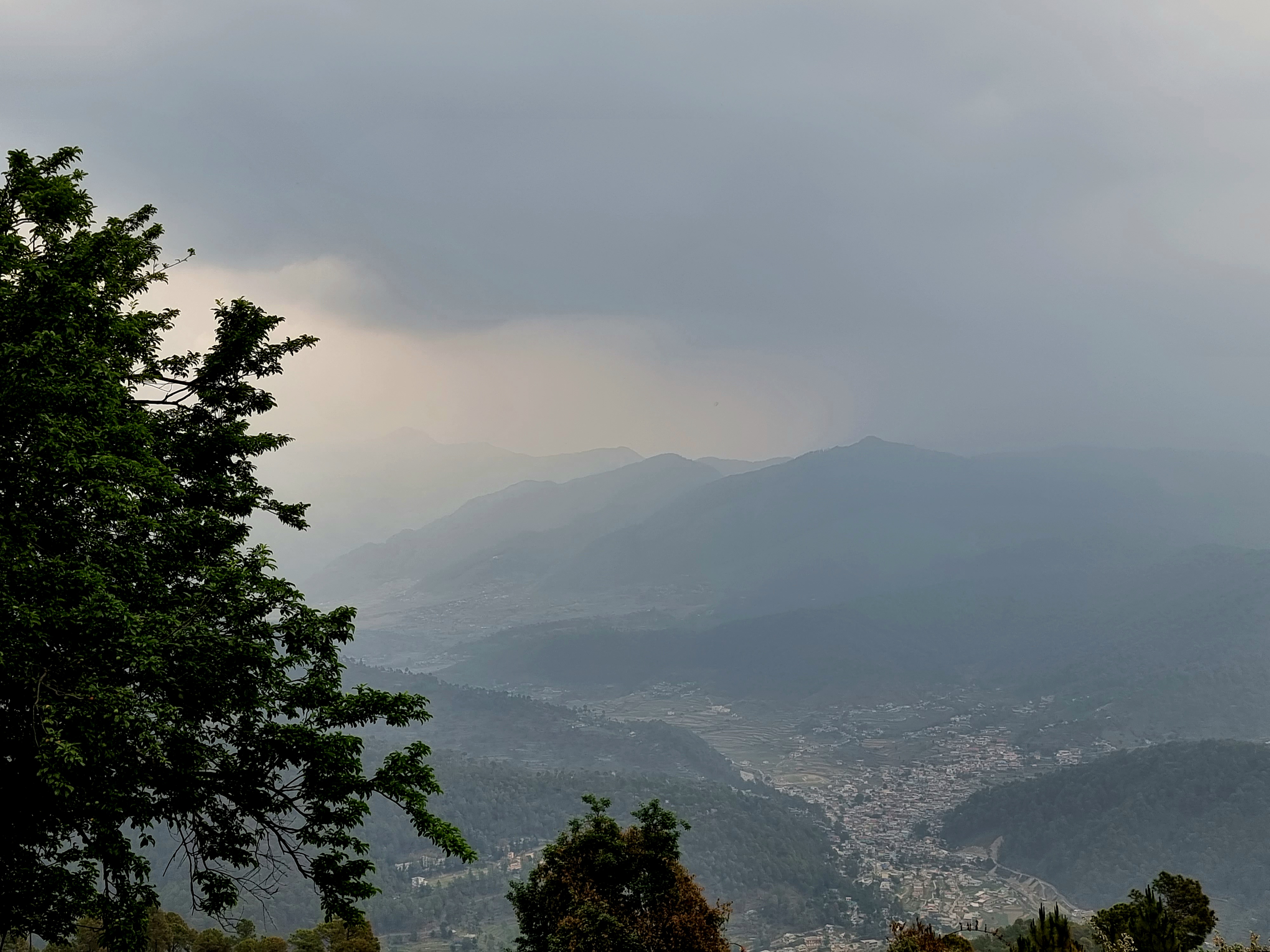
Purola is the tehsil headquarters town for the upper Yamuna valley in Uttarkashi district, Uttarakhand. It sits at about 1,500 m on the south bank of the Kamal river just before that river joins the Yamuna at Naugaon, eighteen kilometres downstream. The town's catchment runs north to the Har-ki-Dun massif and east to Mori; together this belt is one of the least-developed agricultural districts in the central Himalaya.
The farm is in Mauja Chaptari, ten kilometres above the town by hill road, at about 1,950 m.
What the town was
For most of its history Purola was a road-end settlement. The Bagrana–Purola road, which now connects the town to the lower Yamuna valley at Naugaon, was a bridle path until the 1960s. Goods that arrived in the town arrived on the backs of horses and porters. The town's reason for being was the fortnightly mandi (market) at which the villages of the upper valley sold what they grew — potato, finger millet, cow ghee, and small quantities of walnut and apricot — and bought what they could not produce — salt, lentils, kerosene, cloth.
The British colonial administration knew the town slightly. The gazetteer of Tehri Garhwal (1903) records Purola as a "small collection of huts of no consequence". The first metalled road came in 1972. The first government secondary school in 1979. The first hospital with an operating theatre in 2007.
That is the surface of it. Underneath, Purola is a much older place. The village of Karda, two kilometres above the town, has a stone temple to the local mother-goddess Karda Mata that locally is dated to the twelfth century. The patterns of land-holding in the upper valley — the jamabandi records the British recorded in the 1860s — show the same lineages holding the same fields then as now. The road and the secondary school changed Purola's relationship to the country below it. They did not change Purola.
What the town is
The market still happens every other Saturday. The stalls are now fewer and busier — most household goods are bought in the daily shops along the bazaar, and the market is mainly for vegetable sellers, the meat shop, and the small tractor and tiller implements that get cycled through from Dehradun. The population of the town proper is about 5,000; the wider tehsil is about 40,000.
There is now a college (a Government Inter College, classes 11 and 12), a degree college affiliated to HNB Garhwal University, a sub-district hospital with three doctors and a small operating theatre, three banks (SBI, Cooperative, and Punjab National Bank, in that order of usefulness for hill farmers), an LIC office, an Indian oil distributor, the tehsil's sub-registrar of stamps, and the office of the Sub-Divisional Magistrate. Most government departments now have a sub-office.
The main daily economy is government salaries and the goods and services those salaries buy. Behind that there is a small but real horticultural economy — apple, plum, peach, walnut and apricot from the surrounding villages — sold mostly through Dehradun-based aggregators. A few small homestays. One reasonable hotel (Hotel Manaslu Inn). A working bus stand with two daily services to Dehradun and one to Mussoorie.
Getting there
The town is 165 km from Dehradun by road, via Mussoorie, Naugaon and Damta. Driving time, in a non-monsoon month, is about six hours. The last fifty kilometres, from Naugaon up the Kamal river, is single-lane hill road and is slow.
The nearest railhead is Dehradun. The nearest airport is Jolly Grant (Dehradun), 170 km away. There are taxis from Dehradun for ₹4,500–5,500 one-way. Local shared jeeps run from Mussoorie–Damta–Purola for about ₹450 per seat.
In the monsoon — broadly 20 June to 20 September — the road can close for hours or days. The most recent serious landslide was in August 2024 between Damta and Naugaon. Allow buffer days if travelling in August.
The valley beyond
The road continues from Purola north and east, through Mori (the next sub-divisional town) and on to Sankri (the trailhead for Kedarkantha and Har-ki-Dun). It is twenty-eight kilometres from Purola to Mori and another thirty to Sankri. The whole of that road runs along the upper Yamuna and Tons river systems and is, by any honest measure, one of the most under-photographed beautiful stretches of road in India.
We will write about Kedarkantha, Har-ki-Dun, and Mori in their own entries.
A small disclosure
We do not work in Purola town. We work on a hillside above it. But the town is the place where we collect our diesel for the generator, where we register our land deeds, where Pawan's daughter goes to the inter college, and where the bank holds the farm's account. Most visitors to the farm pass through it for the night before coming up. It is worth knowing what it is.